Contents
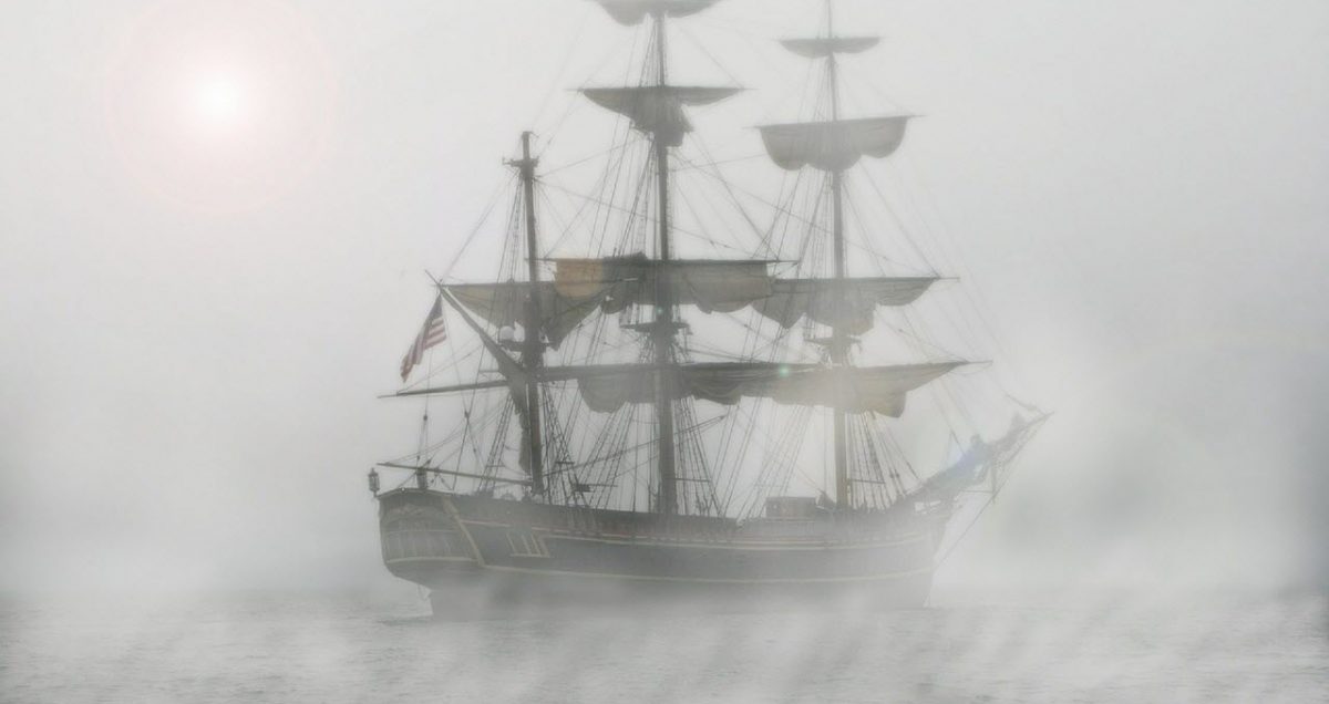
Fog consists of tiny water droplets or ice crystals that are suspended in the air at or near the Earth’s surface. In a sense, fog is a kind of low-lying cloud.
By common definition, it is only considered fog if its reduces visibility to less than 1 kilometre. If the visibility is better than this, the suspended droplets are known as mist, haze or similar. (Please not that some authorities use other parameters for fog.)
It is very common for fog to be generated locally rather than brought in by the winds from afar. Fog can be generated both over the ocean and over land, e.g. with water from lakes, marshes or simply moist enough ground.
Sea and coastal fog
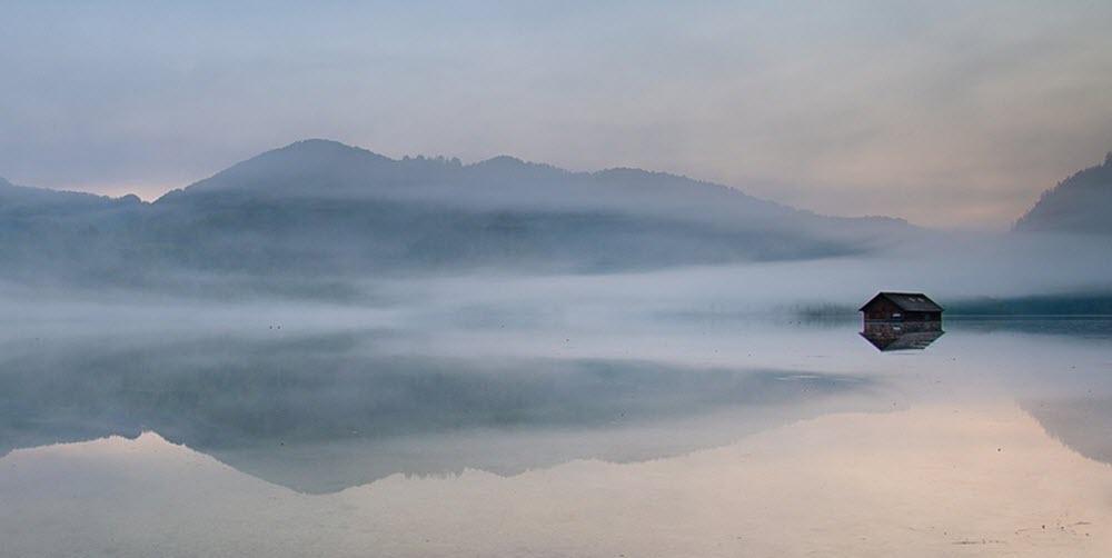
Generally speaking, the formation of sea fog is heavily influenced by the presence of sea spray and microscopic airborne salt crystals. Sea spray consists of aerosol particles from the ocean, and is typically formed as bubbles burst at the air-sea interface, ejecting particles into the air.
Coastal areas tend to have a higher density of airborne salt crystals, because this is where salt spray is formed by breaking swells and similar. Weather phenomena such as storms can however lead to a high density of airborne salt crystals anywhere above the sea, even out over the open ocean.
Interestingly, sea fog can form even in relatively dry air as condensation on salt particles is possible even at humidities as low as 70%. One example of an area where this has been observed is along the coast of California, USA.
Kelp
When kelp is stressed by intense sunlight and/or strong evaporation, it releases iodine particles. These particles become nuclei for condensation of water vapour, which can lead to the formation of a coastal fog.
What is haar?
Haar, also known as sea fret, is a cold sea fog. It is especially associated with the eastern coast of England and Scotland, where the haar is a prevalent phenomenon between April and September due to the warm air that passes over the cold North Sea during this part of the year.
Haar is typically formed over the sea when warmer air (that can carry a lot of moist) moves over a colder ocean. The cold causes the moisture to condense, forming haar. After being formed over the ocean, the haar can be brought over land by the wind, so we don’t have to be out at sea to experience haar. In eastern Scotland and north-eastern England, it is not unusual for the sea breeze to bring haar into areas that are located several miles from the coast.
Foggy places
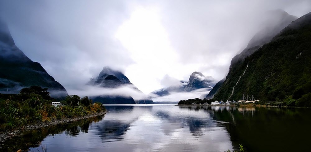
Examples of exceptionally foggy places around the globe:
- Hamilton, a city on the North Island of New Zealand. Heavy fog is common here during winter mornings, especially close to the Waikato River that runs through the city centre. Hamilton is situated in a depression surrounded by high hills, and all major urban centres in New Zealand are windier than Hamilton.
- The Grand Banks off the coast of Newfoundland, Canada. This is where the cold Labrador Current from the north meets the warm Gulf Stream from the south.
- Coastal Namibia
- The lower parts of the Po Valley, Arno Valley and Tiber Valley in Italy.
- The Ebro Valley in north-eastern Spain.
- Seeland, at the south-eastern foot of the Jura Mountains in Switzerland. The lakes Morat, Neuchatel and Bienne are all located within this region, which is a part of the Swiss plateau.
- Severnaya Zemlya, an archipelago in the Russian high Arctic.
- Point Reyes, a prominent cape in northern California, USA, has over 200 foggy days per year. Unlike most lighthouses, the Point Reyes lighthouse is located in a fairly low spot, because if it was at a higher altitude the fog would block out its light. On really foggy days, it is not possible to see the lighthouse from the top of the stairs (circa 300 steps) that leads down to it.
- Camanchacas are massive marine cloud banks that form along the Chilean coast, by the Atacama Desert, and move inland. This is a dense fog that does not produce rain, but still provides plants and animals with much needed water. The moisture is too fine to form rain droplets, as it measures just 1-40 microns across.A very similar thing happens along the coast of Peru, where this type of fog is known as garúa.
Fog of war
Fog of war is a term that describes the uncertainty of limited information. Limited information means that you can not know what the enemy is doing, and you are, therefore, unable to counter the enemy’s moves as efficiently as possible. The term is also used in financial trading, where the term refers to the lack of perfect information that makes it impossible to value assets perfectly. Traders need to guess to try to fill in the gaps created by the fog of war when trying to predict future market movements. The better information you have, the more you can lift the fog of war and the better predictions you can make.
Meteorological Glossary: Fog & Atmospheric Obscurations
Key classification mechanisms, boundary-layer thermodynamics, and optical phenomena
Forms on clear, calm nights as terrestrial longwave radiation cools the soil. The adjacent air layer cools below its dew point, concentrating in valleys and low depressions before dissipating via solar surface heating.
Develops when a warm, moist airmass glides horizontally across a cooler land or ocean surface. As the base cools to saturation, widespread marine layers form, common along cold coastal upwelling zones.
Occurs when gentle winds push stable, moist air up mountain inclines or rising terrain. As air ascends, it cools adiabatically to its dew point, capping elevated passes and ridges.
Created when frigid, dry air passes over significantly warmer water. Moisture rapidly evaporates into the low air layer, instantly saturating it to create rising, swirling vapor plumes.
Forms when warm rain drops fall through cooler, drier air beneath a frontal inversion. Droplet evaporation rapidly saturates the cold air mass, generating shallow, ragged cloud patches.
Freezing Fog: Supercooled liquid droplets freeze on contact with solid structures, forming rime. Ice Fog: Occurs in extreme cold (< -30°C), where water vapor condenses directly into suspended ice crystals.
Microscopic hygroscopic particles (dust, sea salt, sulfates) suspended in the air that provide surfaces for water vapor molecules to coalesce into visible liquid droplets.
The dew point is the temperature at which air reaches 100% relative humidity. Dew point depression is the gap between air temp and dew point; values near zero trigger condensation.
An atmospheric condition where air warms with altitude rather than cooling. The inversion caps vertical mixing, trapping moisture, particulates, and fog near the surface.
Mist involves suspended micro-droplets with visibility between 1 km and 5 km (RH > 95%). Haze is caused by dry particles like dust or smoke under drier conditions (RH < 80%).
A broad, faint, whitish arc formed by light diffraction through tiny fog droplets (< 0.05 mm). Due to dominant wave diffraction over refraction, separate spectral colors wash out into white.
The magnified shadow of an observer projected against the upper boundary of a fog bank below, frequently encircled by iridescent, colored diffraction rings known as a solar glory.