
Contents
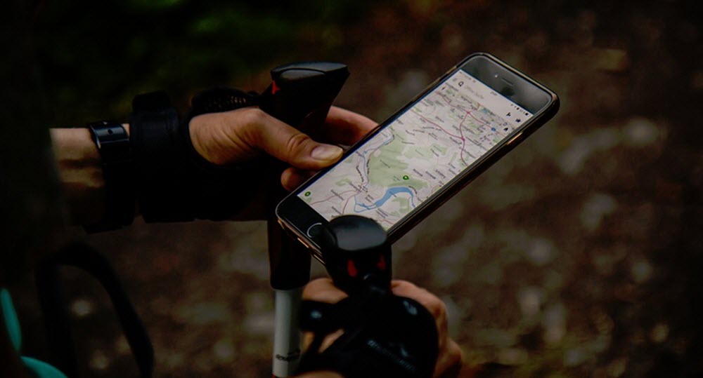
The Global Positioning System (GPS) is a global satellite-based radio navigation system that provides geolocation and time information to a GPS receiver anywhere or near Earth, provided that there is an unobstructed line of transmission to at least four GPS satellites.

The Global Positioning System was originally developed for U.S. military use, but has today become extremely important for civilians as well – both at land and on water. The system is owned by the United States government and operated by the U.S. Air Force Space Command (AFSPC), who makes is freely accessible to anyone with a GPS receiver.
The Global Positioning System operates independently of telephone and internet reception, and can thus be used even by seafarers who does not have access to telephone and internet services onboard.
Civilian use
Examples of how GPS are used by civilian seafarers:
- Navigators can use GPS to obtain precise orient measurements and exact velocity.
- GPS can make it much easier for emergency services to locate vessels and people in case of emergency.
- GPS is used in fleet tracking, i.e. the task of identifying, locating and maintaining contact reports with one or more fleet vessels in real-time.
Precision (civilian)
In the year 2000, civilians could expect an accuracy of roughly five meters when using GPS. Since then, the accuracy has improved, and GPS receivers released in 2018 that use the L5 band can pinpoint to within 30 centimetres.
How does it work?
The Global Positioning System rely on specialized satellites that carry very stable atomic clocks which are synchronized with one another and with atomic clocks on the ground. The location of each satellite is known with great precision.
Each GPS satellite is continuously transmitting a radio signal with information about current time and its current position. The speed of radio waves is constant, the time it takes for the radio wave to travel from the satellite to the GPS receiver is proportional to the distance between the satellite and the receiver. If the receiver picks up signals from a minimum of four different GPS satellites, it will be able to calculate its own position with great accuracy.
At the time of writing, there are over 30 GPS satellites in orbit.
Background
- The GPS project was launched by the U.S. Department of Defense in 1973.
- Certain civilian use of GPS was permitted in the 1980s. In the 1990s, GPS civilian-use quality was deliberately degraded by the U.S. Government through the Selective Availability Program.
- The 1990-1991 Gulf War was the first conflict where GPS was widely used by the U.S. military.
- The Global Positioning System was declared fully operational in 1995, signifying full availability of the military’s secure Precise Positioning Service (PPS).
- The Selective Availability Program was discontinued in May 2000 by a law signed by President Bill Clinton, allowing civilian users to receive a non-degraded signal globally.
Restrictions and alternatives
The GPS service is provided by the U.S. Government and they also control the export of some type of GPS receivers, such as GPS receivers capable of functioning above 18 km above sea level or navigating at speeds exceeding 1,000 knots (2,000 km/h), for which an export permit is required. There are also restrictions regarding receivers designed or modified for use with unmanned missiles and aircraft. Nowadays, it is possible to obtain GPS units from other countries than the United States, and some of those vendors does not adhere to the U.S. regulation.
The U.S. government can selectively deny access to the GPS system or degrade the accuracy. They did for instance use this power to deny the Indian military access during an armed conflict between India and Pakistan in May-July 1999.
Wishing to not depend on the United States, several countries have developed or are in the process of developing their own global or regional satellite navigation system. There is for instance the Russian GLONASS, which can be used independently or added to a GPS device. With GLONASS added to your GPS device, more satellites than just the GPS satellites become available to the device.
Other examples are the European Union’s Galileo system and China’s BeiDou.
Japan’s QZSS isn’t an independent system (yet); it is a GPS satellite-based augmentation system that enhances GPS’s accuracy in Asia-Oceania. Independence from GPS is scheduled for 2023.