
Contents
Marine radars are X band or S band radars on ships, used for both collision avoidance and for general navigation. They will help detect various obstacles – everything form other vessels to land. Marine radars are also an important tool to tell bearing; the horizontal angle between the direction of an object and another object, or between it and that of true north.
COLREGs requires all ships to maintain a proper radar lookout if a marine radar system is available onboard. This includes using radar plotting to obtain information of movement and the risk of collision with other ships in the vicinity. COLREGs is the International Regulations for Preventing Collisions at Sea, and it derives its power from a multilateral treaty called the Convention on the International Regulations for Preventing Collisions at Sea.
How does marine radars work?
Marine radars are electronic navigation instruments that rely on microwaves. They use a flat rotating antenna to sweep a narrow beam of microwaves around the water surface, from the vessel to the horizon. When microwaves are reflected back by some obstacle, the system takes notice and displays a rudimentary picture of the object on the radar display screen.
Modern marine radars give the user a fairly high degree of control when it comes to adjusting parameters such as brightness, contrast, and range scale. They can also come with manual or automatic tuning, gain, sea clutter suppression, rain clutter suppression, and interference reduction.
X band & S band
The X band is used for radar, satellite communication, and wireless computer networks.
Frequency range: 8–12 GHz
The S band is used by airport surveillance radar for air traffic control, weather radar, surface ship radar, and some communications satellites, including a few utilized by NASA to communicate with the Space Shuttle and the International Space Station.
Frequency range: 2-4 GHz
Integration
It is uncommon for marine radars to be used completely on their own for navigation and collision avoidance. Instead, radar is used in conjunction with other tools and systems.
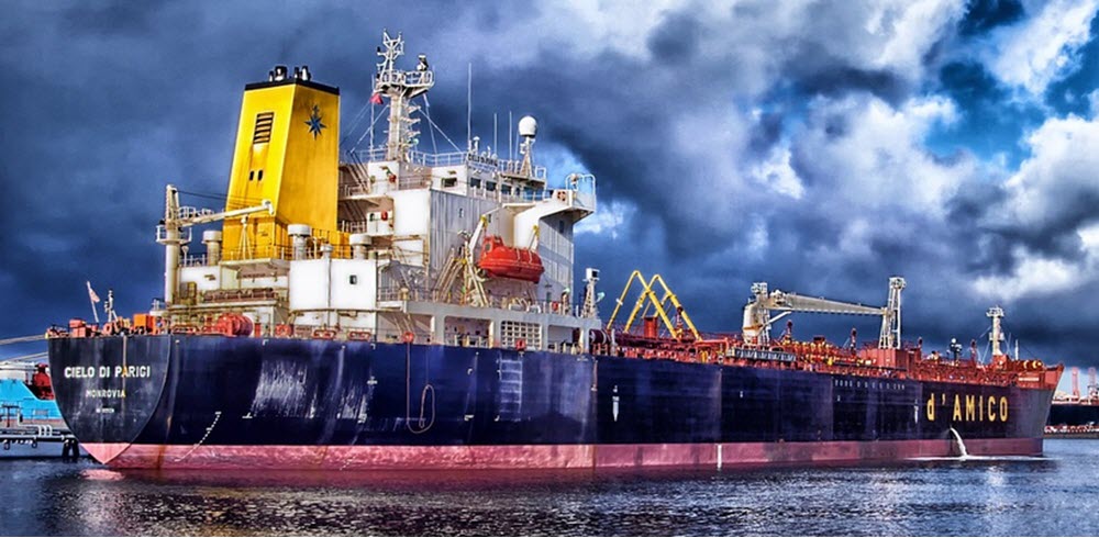
Commercial sea going ships will typically have their radar system integrated into a bigger system that contains tools such as sonar, chartplotters, and satellite navigation receivers, e.g. the Global Positioning System (GPS).
Newer systems often come with 3D displays that allow the user to “see” above, below and 360 degrees around the ship in one single display.
Vessel traffic service
In ports and harbours, shore-based vessel traffic service (VTS) radar system are used to monitor ship movements. VTS are marine traffic monitoring systems established by harbour or port authorities; they are basically the same as air traffic control but for water vessels instead of aircrafts.
Background
In 1886, the German physicist Heinrich Hertz showed that solid objects would reflect radio waves.
In the years right before or during World War II, several countries secretly developed radar for military use.
An important stepping stone in the development of usable radar systems for the WWII Allies was the improved cavity magnetron developed by John Randall and Harry Boot at the University of Birmingham in 1940. Their improved model made the use of centimeter-band radar practical, as shorter wavelength radars allowed for detection of smaller objects from smaller antennas – drastically reducing the size of radar sets and making it feasible to install them in night-fighter aircraft and anti-submarine aircraft.
The term RADAR was coined in 1940 by the United States Navy – it’s an acronym for Radio Detection And Ranging. Today, we simply write radar.